Art, Symbol & Imagination
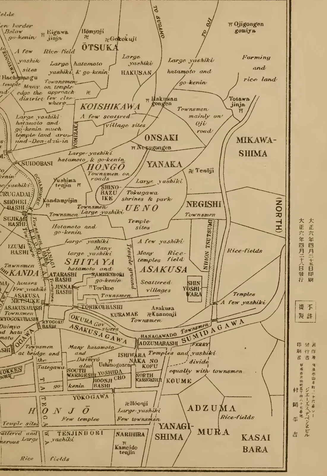
District Map of Edo
A dense network of roads and waterways divides the map into named districts. Fine labels place Yotsuya among other familiar parts of the former Edo. The map gives geographical context to the locations discussed in the book’s account of O’Iwa.
Read the source pageLoading your collection…
Citation
Map maker not identified. "District Map of Edo" [editorial title]. In The Yotsuya Kwaidan; or, O'Iwa Inari, Retold from the Japanese originals by James S. de Benneville. Philadelphia: J. B. Lippincott Company, 1917; retold from Japanese originals by James S. de Benneville., 1917, Press of J. B. Lippincott Company. Source scan leaf 21. Lumitheca. /gallery/image/gallery-20261108-0446-0021
Source details
Editorial title and description. Source details from the Library catalogue.
Descriptive title supplied for the visually reviewed historical illustration. The surrounding book presents the original author's interpretation.
Sources
From the book
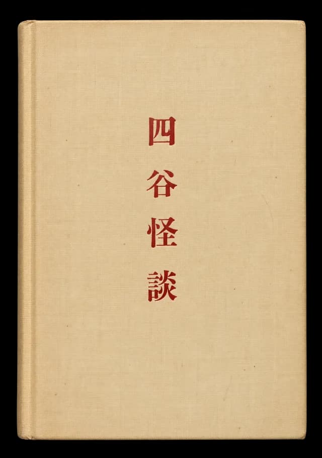 The Yotsuya Kwaidan; or, O'Iwa InariRetold from the Japanese originals by James S. de Benneville1917
More from this book
All 3 illustrations

Related illustrations


Cite this illustration
Map maker not identified. District Map of Edo. The Yotsuya Kwaidan; or, O'Iwa Inari. Scan leaf 21. Lumitheca. https://lumitheca.com/gallery/image/gallery-20261108-0446-0021