Art, Symbol & Imagination
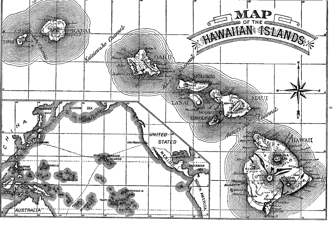
Map of the Hawaiian Islands
A shaded map names the main Hawaiian islands against a latitude and longitude grid. An inset locates the archipelago within the Pacific Ocean.
Read the source pageLoading your collection…
Citation
Map maker not identified. "Map of the Hawaiian Islands" [editorial title]. In The Legends and Myths of Hawaii, David Kalākaua; edited and introduced by R. M. Daggett. New York: Charles L. Webster and Company, 1888; edited and with an introduction by R. M. Daggett; preface acknowledges multiple contributors to the collected traditions., 1888, Charles L. Webster and Company. Source scan leaf 5. Lumitheca. /gallery/image/gallery-20261108-0646-0005
Source details
Editorial title and description. Source details from the Library catalogue.
Descriptive title supplied for the visually reviewed historical illustration, reproduced from the exact library edition.
Sources
From the book
 The Legends and Myths of HawaiiDavid Kalākaua; edited and introduced by R. M. Daggett1888
More from this book
 Ancient Hawaiian Gods in Kalākaua’s Legends
 The Meeting Place of an Ancient Secret Society
 Hawaiian Feather Standards, Gourds and Implements
Related illustrations


Cite this illustration
Map maker not identified. Map of the Hawaiian Islands. The Legends and Myths of Hawaii. Scan leaf 5. Lumitheca. https://lumitheca.com/gallery/image/gallery-20261108-0646-0005