Art, Symbol & Imagination
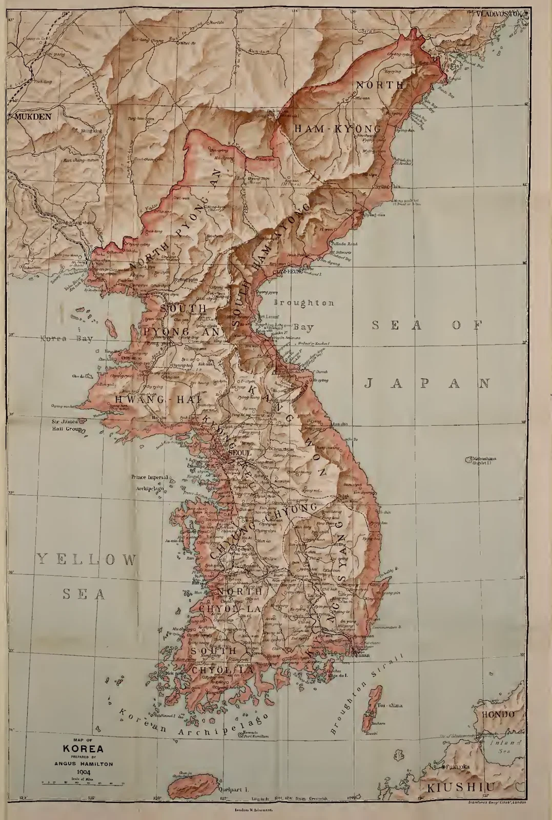
A Historical Map of Korea, 1904
Shaded relief, place names and fine boundary lines cover the Korean peninsula between the Yellow Sea and the Sea of Japan. An inset extends the coverage around the main historical map.
Read the source pageLoading your collection…
Citation
Map maker not identified. "A Historical Map of Korea, 1904" [editorial title]. In Korea, Angus Hamilton. Reading edition, undated edition. Source scan leaf 353. Lumitheca. /gallery/image/gallery-20261108-0589-0353
Source details
Editorial title and description. Source details from the Library catalogue.
Descriptive title supplied for the visually reviewed historical illustration, reproduced from the exact library edition.
Sources
From the book
 KoreaAngus HamiltonUndated edition
More from this book
 The Stone Tablet in Seoul
 At the Wells: A Photograph from Hamilton’s Korea
 Seoul’s Gate and City Walls
Related illustrations


Cite this illustration
Map maker not identified. A Historical Map of Korea, 1904. Korea. Scan leaf 353. Lumitheca. https://lumitheca.com/gallery/image/gallery-20261108-0589-0353