Art, Symbol & Imagination
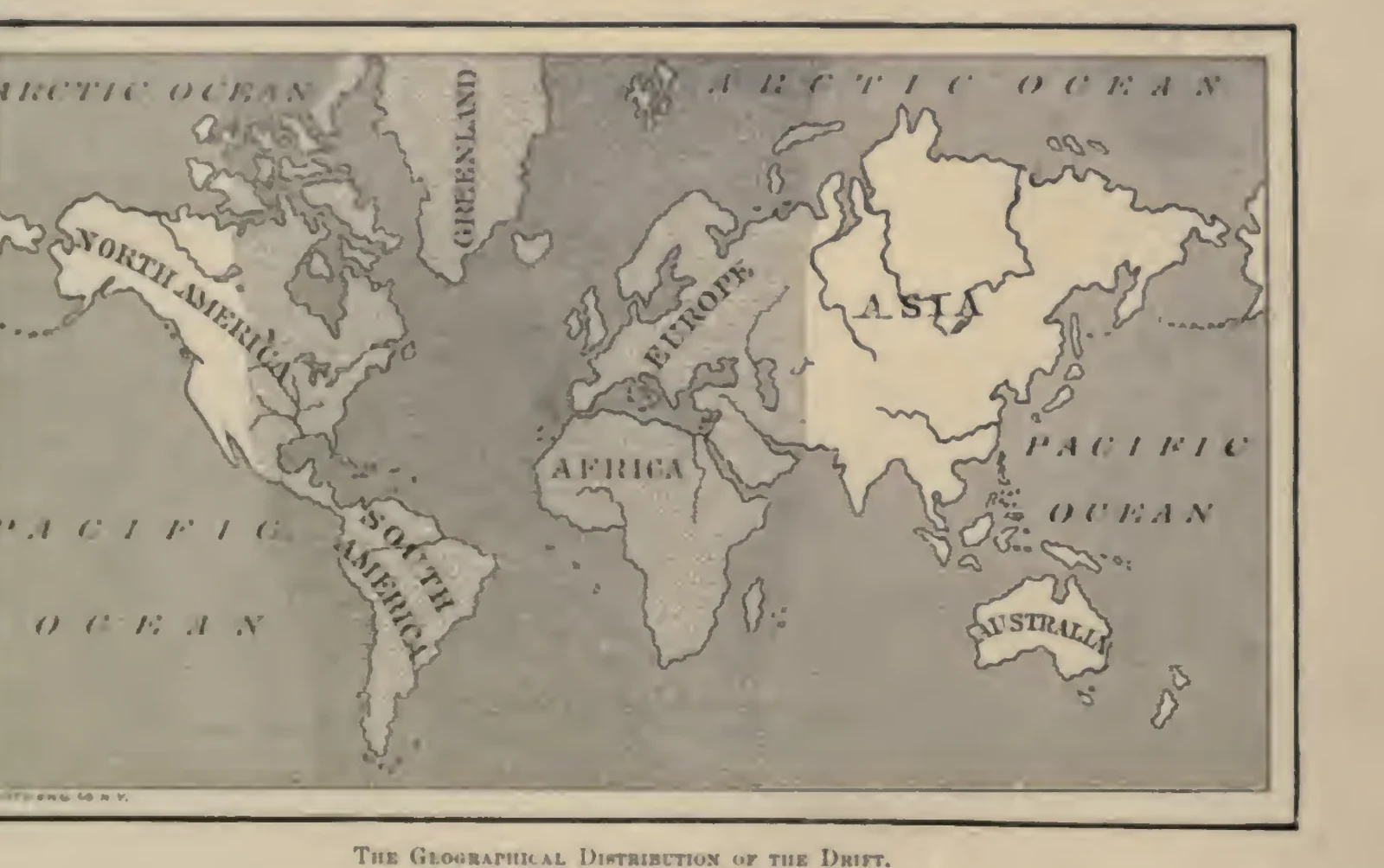
The Geographical Distribution of Drift
A framed world map centres on the Atlantic and marks regions associated with drift deposits. Its printed heading identifies the Geographical Distribution of the Drift. Donnelly uses the map while developing his theory of a catastrophic comet encounter. The illustration records his nineteenth-century presentation of the evidence, distinct from acceptance of the explanation he proposed.
Read the source pageLoading your collection…
Citation
Illustrator not identified. "The Geographical Distribution of Drift" [editorial title]. In Ragnarok: The Age of Fire and Gravel, Ignatius Donnelly. Eleventh edition, 1887, R. S. Peale and Company. Source scan leaf 6. Lumitheca. /gallery/image/gallery-20261108-0043-0004
Source details
Editorial title and description. Source details from the Library catalogue.
Descriptive title supplied for the visually reviewed historical illustration. The surrounding book presents the original author's interpretation.
Sources
From the book
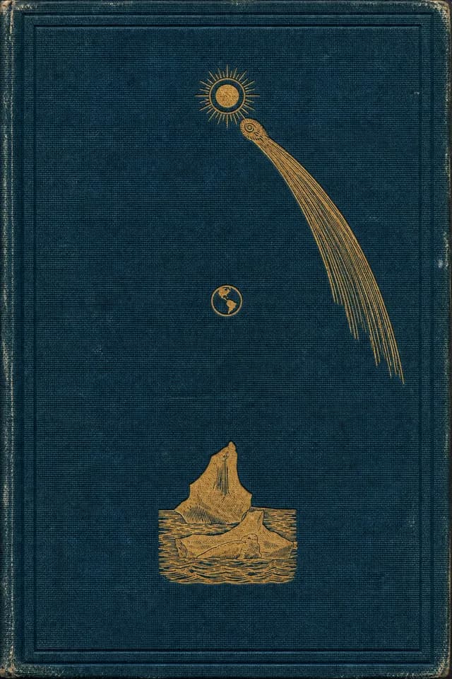 Ragnarok: The Age of Fire and GravelIgnatius Donnelly1887
More from this book
All 8 illustrations


Related illustrations


Cite this illustration
Illustrator not identified. The Geographical Distribution of Drift. Ragnarok: The Age of Fire and Gravel. Scan leaf 6. Lumitheca. https://lumitheca.com/gallery/image/gallery-20261108-0043-0004