Art, Symbol & Imagination
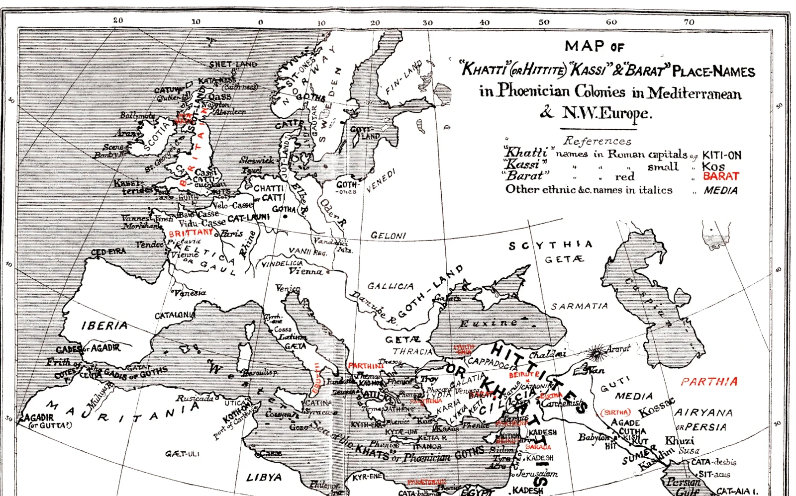
Waddell’s Place-Name Connection Map
A map of Europe and the Mediterranean combines dense place labels with selected names in red. Its heading identifies Waddell’s proposed connections between ancient names and later places. The colour distinguishes parts of his argument rather than simply marking travel routes. This is a map of a historical author’s hypothesis, not an independently verified account of ancient settlement.
Read the source pageLoading your collection…
Citation
Illustrator not identified. "Waddell’s Place-Name Connection Map" [editorial title]. In The Phoenician Origin of Britons, Scots & Anglo-Saxons, L. A. Waddell. 1924, Williams and Norgate, Ltd.. Source scan leaf 449. Lumitheca. /gallery/image/gallery-20261108-0040-0446
Source details
Editorial title and description. Source details from the Library catalogue.
Descriptive title supplied for the visually reviewed historical illustration. The surrounding book presents the original author's interpretation.
Sources
From the book
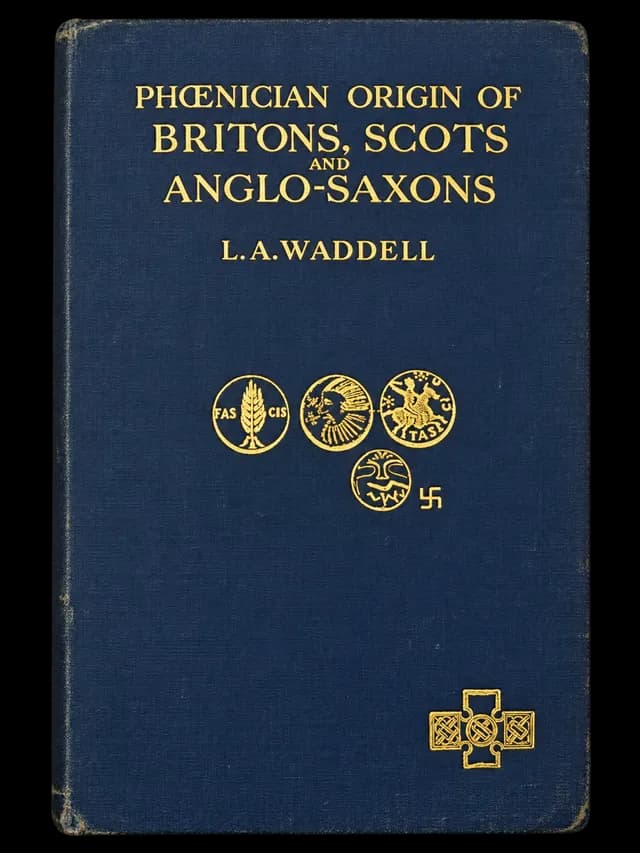 The Phoenician Origin of Britons, Scots & Anglo-SaxonsL. A. Waddell1924
More from this book
All 10 illustrations


Related illustrations


Cite this illustration
Illustrator not identified. Waddell’s Place-Name Connection Map. The Phoenician Origin of Britons, Scots & Anglo-Saxons. Scan leaf 449. Lumitheca. https://lumitheca.com/gallery/image/gallery-20261108-0040-0446