Discover historical illustrations by subject, artist and book.
Creation and rebellion in Blake’s illuminated plates.
Norwegian fairy tales illustrated by Kay Nielsen.
Four colour drawings from a 1908 Gnostic text.
From the dark wood to Paradise with Gustave Doré.
Ethelwynne Quail’s visions of the spirit world.
Art Deco studies of fear by John Vassos.
11 illustrations
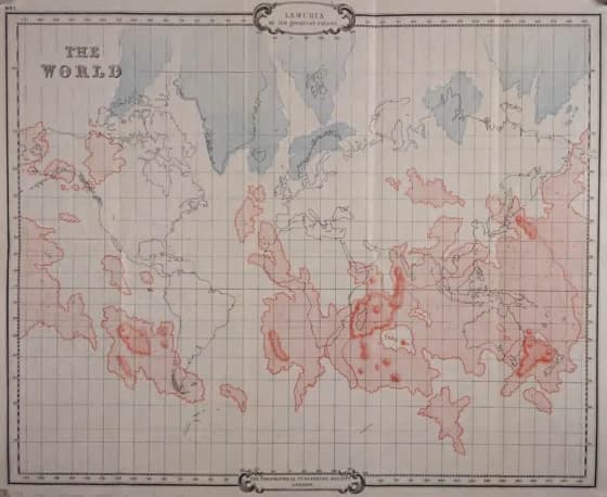
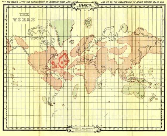
A pale world map carries modern continental outlines together with larger red boundaries.
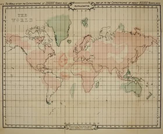
Coloured land outlines and fine grid lines cover a world map labelled Ruta and Daitya.
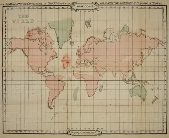
The familiar outlines of the continents surround a small coloured island in the Atlantic.
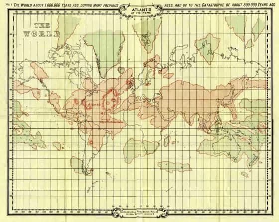
A wide world map combines shaded land areas, a latitude-longitude grid and the heading Atlantis at Its Prime.
Broad tinted land masses extend across an evenly ruled world map.
Red outlines cross the Pacific and neighbouring regions over a gridded world map.
A broad black land mass stretches across the gridded map beside lightly shaded continental outlines.
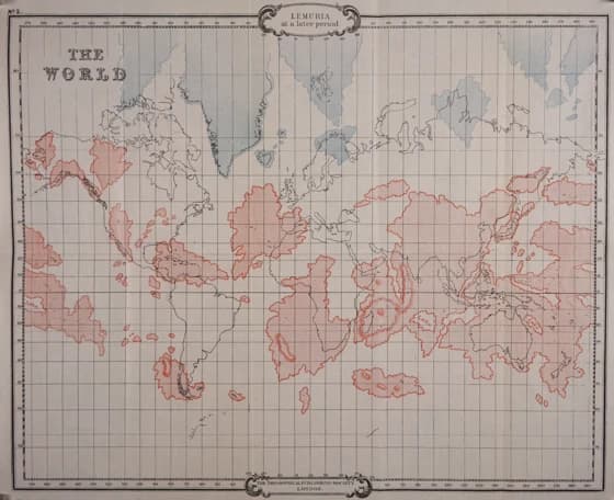
A pale hatched region labelled Lemuria lies to one side of a large dark continental form.
Hatched ocean regions and dark land masses cross a gridded map with labels for Lemuria and Atlantis.
Rows of four-petalled flowers, crosses, wheels and hooked designs fill a narrow plate.
A circular world map divided by heavy crossing bands shows mountains, rivers and labelled seas.
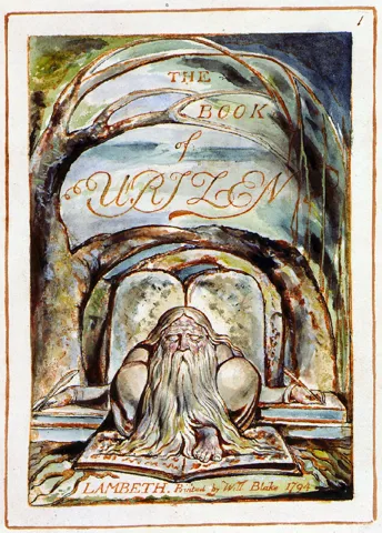 27 plates
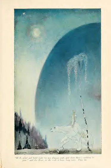 22 plates
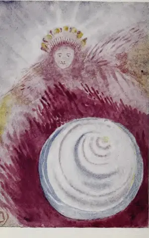 4 plates
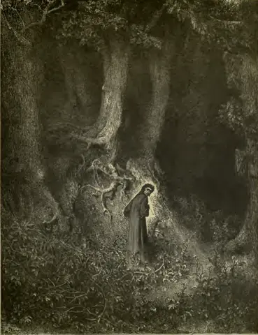 24 plates
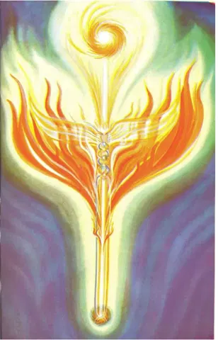 10 plates
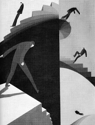 10 plates